


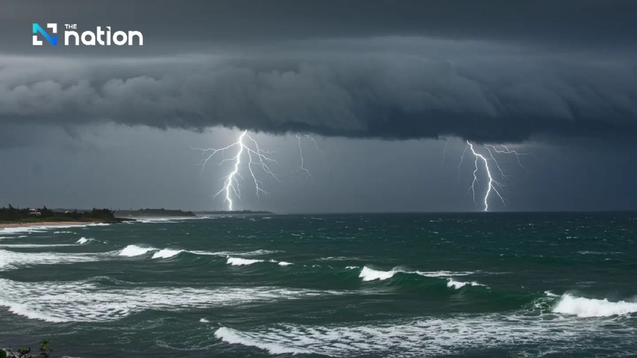
BANGKOK: According to the Thai Meteorological Department (TMD), the forecast over the next 24 hours indicates a reduction in rainfall across Thailand, though isolated heavy rain is still expected along the west coast of the South. A moderate southwesterly monsoon currently influences the upper Andaman Sea and Thailand.
Residents are advised to remain cautious of heavy rainfall and potential accumulation, which may lead to flash floods and runoff, especially in low-lying areas and on foothills near waterways. Additionally, individuals should take care of their health due to the fluctuating weather conditions.
Marine conditions in both the Andaman Sea and the Gulf of Thailand are classified as moderate. In the upper Andaman Sea, wave heights can reach approximately two meters, while in the lower Andaman Sea and the upper Gulf of Thailand, waves are between one and two meters high. In areas experiencing thunderstorms, wave heights are expected to exceed two meters.
Boat operators in these regions are urged to navigate with caution and avoid sailing in areas with thunderstorms.
The weather forecast for Thailand, valid from 6am on Sunday (May 24) to 6am on Monday (May 25), is as follows:
In Bangkok and its adjacent provinces, thunderstorms are anticipated to cover 30 percent of the area, with temperatures ranging from a minimum of 25-27 degrees Celsius to a maximum of 34-37 degrees Celsius, and south-westerly winds at 10-20 km/h.
In the North, thunderstorms are forecasted to affect 40 percent of the region, primarily in Mae Hong Son, Chiang Mai, Chiang Rai, Lamphun, Lampang, Tak, and Phetchabun, with minimum temperatures of 23-25 degrees Celsius and maximum temperatures of 34-37 degrees Celsius, alongside similar wind patterns.
The Northeast is expected to see thunderstorms across 20 percent of the area, mainly in Loei, Nong Khai, Bueng Kan, Chaiyaphum, and Nakhon Ratchasima, with temperatures ranging from 24-26 degrees Celsius minimum to 35-37 degrees Celsius maximum, and winds remaining consistent.
In the Central region, thunderstorms are projected in 30 percent of the area, chiefly in Kanchanaburi, Ratchaburi, Nakhon Pathom, Samut Songkhram, and Samut Sakhon, with temperature ranges similar to the Northeast.
The East is also under a 40 percent thunderstorm forecast, affecting regions including Chon Buri, Rayong, Chanthaburi, and Trat, with temperatures between 25-27 degrees Celsius minimum and 33-37 degrees Celsius maximum, while winds may reach 15-35 km/h.
The South, particularly the east coast, is likely to encounter thunderstorms across 40 percent of the area, especially in Chumphon, Surat Thani, Nakhon Si Thammarat, Yala, and Narathiwat, with temperatures between 24-26 degrees Celsius minimum and 34-36 degrees Celsius maximum.
On the west coast of the South, thunderstorms are expected in 60 percent of the area, with isolated heavy rain forecasted in Ranong, Phang Nga, and Phuket. Minimum temperatures are projected to be 24-26 degrees Celsius with maximum temperatures between 32-35 degrees Celsius. Winds will vary from 20-35 km/h north of Phang Nga, with waves reaching about two meters, while south of Phuket, waves are anticipated to be one to two meters high, potentially rising above two meters in thunderstorm areas.
Source: The Star | Malaysia